Billed by Fort Gibson Chamber of Commerce as the oldest community in Oklahoma, the town of Fort Gibson started out as a small settlement that sprang up under the watchful gaze of a wooden stockade.
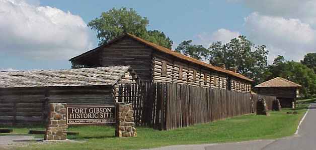
The military site, today known as Fort Gibson Historic Site, was established as Cantonment Gibson on the command of Colonel Matthew Arbuckle in 1824. It was, at that time, the most westerly military outpost of the United States and was established to maintain peace on the frontier.
Cantonment Gibson became Fort Gibson in 1832. By this time, the campus had been gradually moved uphill from the original stockade which had been located just 200 yards (182 meters) from the river. Not only had the original site been prone to flooding but it had also been close to insect-ridden swampy areas.
Throughout the years, the fort becomes famous for a number of things. For starters, Fort Gibson served as the first meteorological observatory in what would become the state of Oklahoma.
In a 2005 report for the Midwestern Regional Climate Center, Gary K. Grice wrote that weather observations were first made at the garrison hospital by US Army surgeons in July 1824. After that, the record continued, with some gaps, until September 1890.
It was sited on the east bank of the Grand River close to the Three Forks where the Grand, Arkansas, and Verdigris rivers converge. This location made Fort Gibson one of the most important military posts on the United States frontier with the land which would, in 1934, be formally designated Indian Territory by the Indian Intercourse Act.
After the enactment of the Indian Removal Act on May 28, 1830, by President Andrew Jackson, Fort Gibson played a key role in the relocation of eastern tribes to the region west of the Mississippi.
While some of these migrants had signed deals giving up their homelands in return for federal land grants, others were forcibly relocated. However they ended up there, the new arrivals now had to amalgamate into the lands of the Plains Indians tribes — who did not always take kindly to this intrusion.
Colonel (later General) Arbuckle remained in command of Fort Gibson for 17 years. Remarkably, he was able to maintain calm throughout the emotionally charged period of Indian Removal.
The Stokes Commission, which according to historian and author Grant Foreman was “committed to… the solution of numerous problems arising from the new association of Indian tribes,” convened at Fort Gibson. Foreman’s journal article The Life of Montfort Stokes in the Indian Territory was published in The North Carolina Historical Review Vol. 16, No. 4 (October 1939).
In order to expedite the peaceful resettlement of so many thousands of displaced people, a series of military expeditions to make contact and negotiate peace treaties with the Plains tribes was organized. Starting in 1832, Fort Gibson served as a staging post for exploration of the western regions of the Territory.
Such exploration missions were, writes the Oklahoma Historical Society, seen as “almost a death sentence” by the troops, albeit the death toll was caused by illness rather than conflict.
Troops were also tasked with laying out roads and establishing other military posts, including Camp Holmes and Fort Wayne.
Being sited at the end of the navigable part of the Grand River, Fort Gibson developed as a depot for both trade goods and military stores.
It was also close to the Texas Road, an important land route connecting Texas with the Missouri River Valley. The fort would have been a welcome respite for the pioneers who were pushing west with the dream of settling on their own piece of the New World.
The fort held its status as a trade and transportation center until 1872 when the Missouri, Kansas, and Texas Railroad reached the Three Forks.
The US Army abandoned the fort in 1857, and it was handed over to the Cherokee Nation. However, it saw military occupation once again with the outbreak of the Civil War — initially by Confederate troops until it was taken by Union forces in 1863.
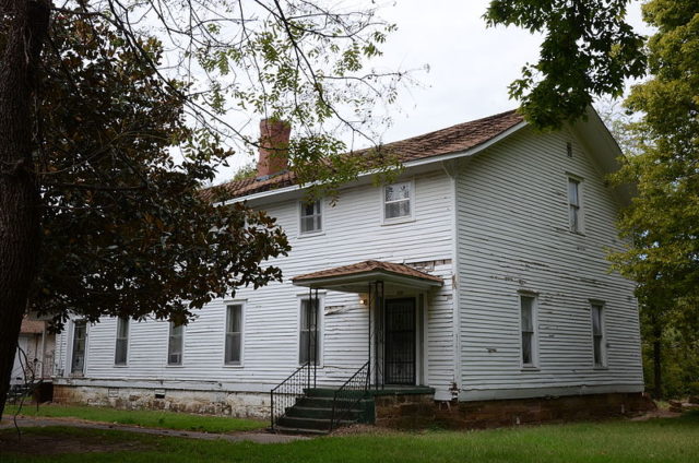
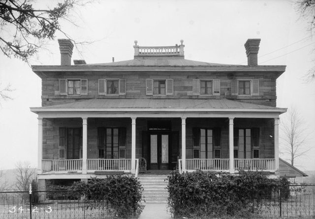
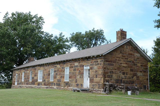
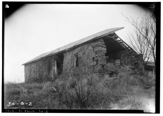
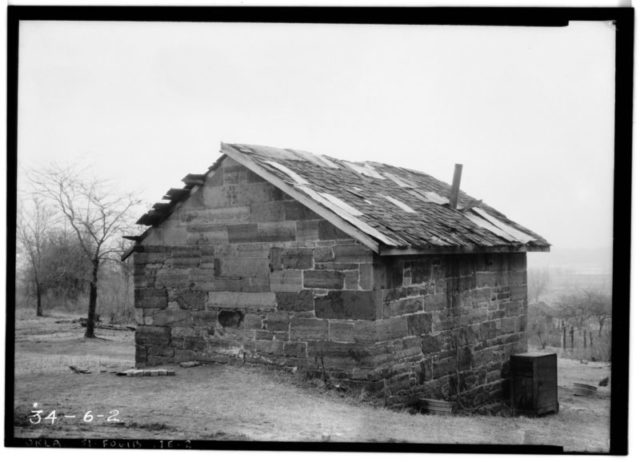
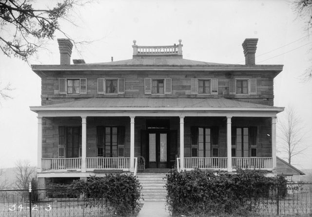
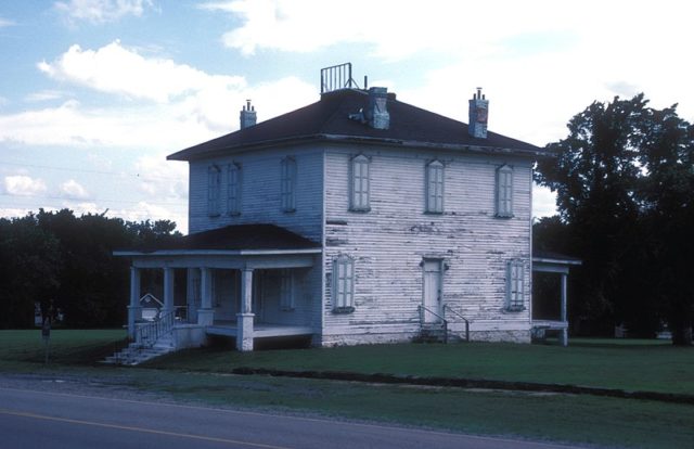
Now a Federal stronghold, Fort Gibson was firmly established at the top of the hill during this period, with the construction of seven large stone buildings — some of which have survived as private residences — and several timber frame structures. The fort was permanently abandoned in the summer of 1890.
Fort Gibson Historic Site was designated as a National Historic Landmark in 1960.
The site is today managed by the Oklahoma Historical Society, whose website informs that “Visitors to the site can see a reconstruction of the early log fort and the stockade, as well as original buildings from the 1840–70s. Exhibits detailing the history of the fort are located in the Commissary Visitor Center on Garrison Hill. The site also hosts a number of special living history events and programs throughout the year.”
