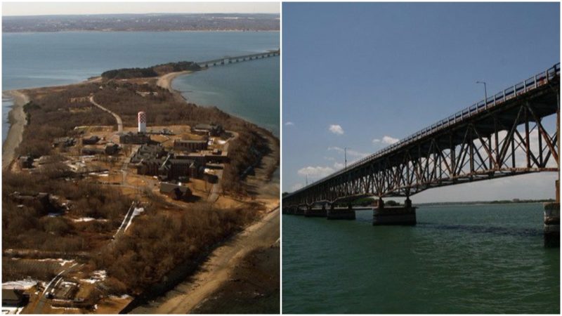
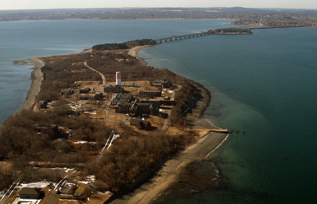
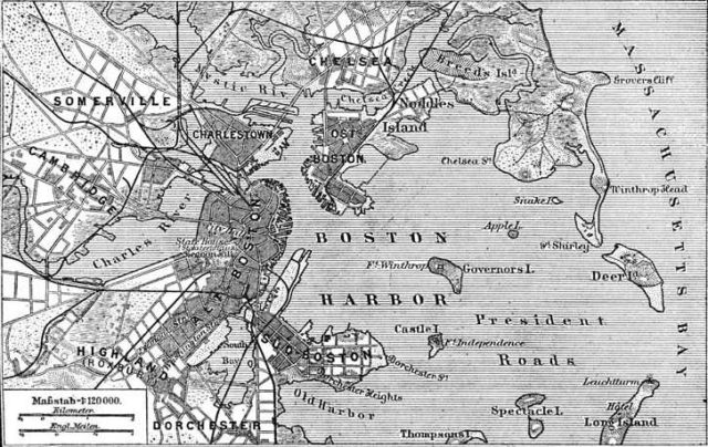
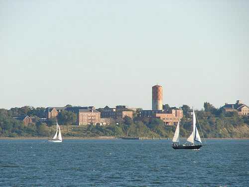
This Long Island, named like the one in New York due to its shape, is situated in Massachusetts in the middle of Boston Harbor. The island is part of the Boston Harbor Islands National Recreation Area and the City of Boston.
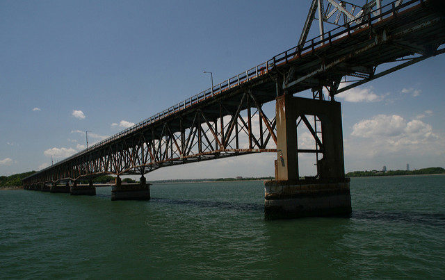
Before 2014 the island could have been reached via a road over a 4,175 foot (1,270 meters) causeway from the Squatum peninsula to Moon Island, and then 3,050 foot (930 meters) long steel bridge to the island itself. The bridge was officially named Long Island Viaduct. Boston’s Long Island is 1.75 miles long with a surface of 225 acres. It is a real pity that the island now lays abandoned in the bay, especially after you read how humane its function was in its last days.
Before the colonization of America was underway in the 17th century, Long Island was inhabited by Native American Indians. That sort of changed on April 1st in 1632 when the island was granted to the City of Boston, along with other islands around it (Deer Island and Hogg Island, now known as Orient Heights in East Boston).
Thinking on the subject of rent for the three islands in today’s currency would cause huge numbers to come up in anyone’s mind. But back then the total amount was only two pounds per year. And to make things even funnier, the next year one more island was added to the grant (Spectacle Island) but the rental price, now for four islands, went down to four shillings per year.
In 1818 the Boston Marine Society Committee found the need for a lighthouse to be constructed on Long Island Head after a request from the Portland (Maine) Marine Society. The lighthouse would help vessels once inside the Boston Harbor with navigation through the Broad Sound Channel.
Afterwards, another committee selected a suitable site for the lighthouse in April 1819. The 23-foot high tower made out of rubble stone and granite was to be the first of several lighthouses on the island. This lighthouse had a fixed white beam generated from nine burners and reflectors positioned 109 feet above sea level that could be seen from up to 15 nautical miles distance. It was named the “Inner Harbor Light”, as there was already one lighthouse at the entrance of Boston Harbor. The name of the first light keeper was Jonathan Lawrence.
By 1844 a new cast in iron lighthouse had been built on Long Island, next to the first lighthouse on the head of the island. This appears to be the first cast iron lighthouse constructed in the United States. The construction work was performed by the South Boston Iron Company. This lighthouse was massive for its time, dwarfing it’s older brother. It was cast in sections of about 7 feet in height and twelve feet wide at the base. Inside, an iron cast circular staircase led to the gas powered lantern room, which was furnished with a twenty-inch walkway running around the outside.
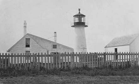
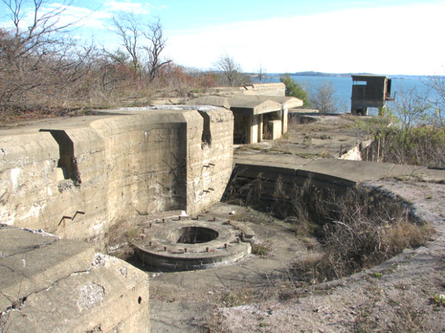
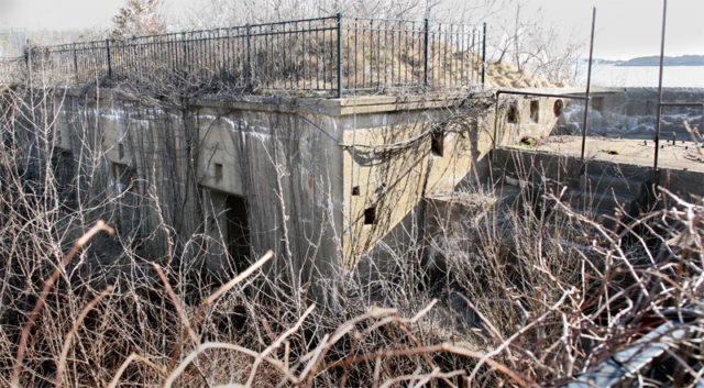
During the 1970s and 80s, Long Island became a site of illegal recreational activities. Among them, the most popular was the Sunday evening prize fighting. This lasted for a couple of months until the Boston Police raided the island and put a stop to this illegal event, or just forced them to move to some other place. In 1874 gun blocks and an ammunition magazine for the Long Island Head Battery were constructed, concrete structures which remain today. By 1881 a new third lighthouse was constructed, this one also was full cast iron. Alongside the lighthouse, a new keeper’s house was built as well.
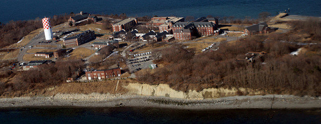
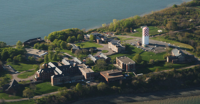
In 1928 a former hotel building on the island was used to house homeless men. And on November 9th, 1940, construction of a new building started that would serve as a housing treatment center for homeless alcoholics. The building was named the Tobin building after the mayor of Boston at the time, Maurice J. Tobin. By 1941 the Boston almshouse was located there along with the Chronic Disease Hospital. Around 1,400 patients and inmates were on the island, being taken care by several hundred doctors, nurses, employees, and volunteers.
Until the 1950s the only way to access the island was via water. The “Long Island Viaduct” was built between 1950-1951 by the Institutions Department of the City of Boston. This made vehicular access possible up until it was declared dangerous and unsafe due to neglect and lack of maintenance. Mayor J. Walsh made the decision on October 8th, 2014, under the advisement of various experts in various City departments, agencies, and leaders, to close the Long Island Bridge. And instead of going back to basics and allow, heck even organize, boat or ferry transport to the island, he evacuated all the helpful programs that were active on the island. All access to Long Island was cut off for an indefinite time. All those living on the island or being serviced by recovery programs were sent off to try their luck elsewhere. The bridge was finally demolished on March 23rd, 2015 and as for the future use of the island, its buildings are still under discussion.
The island can be seen in the 2007 music video for the song “The State of Massachusetts” by the Boston based Irish punk band Dropkick Murphys. The song talks about the effects of drugs on individuals and their families. Boston’s Long Island also allegedly served as the inspiration for Dennis Lehane’s Shutter Island.
