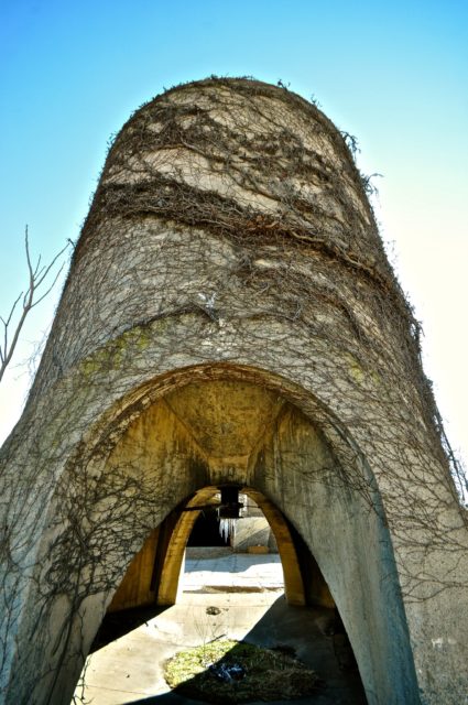
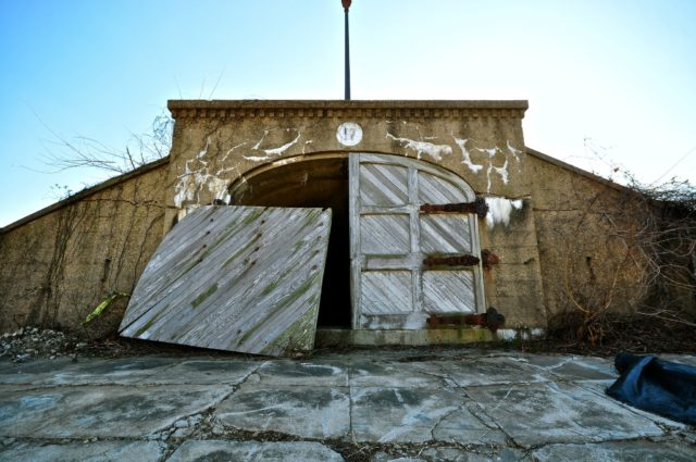
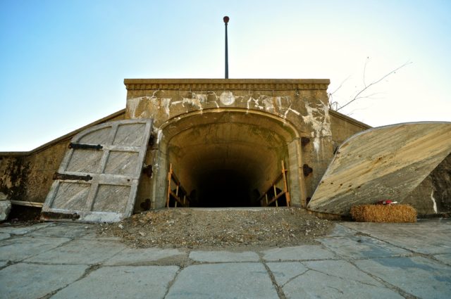
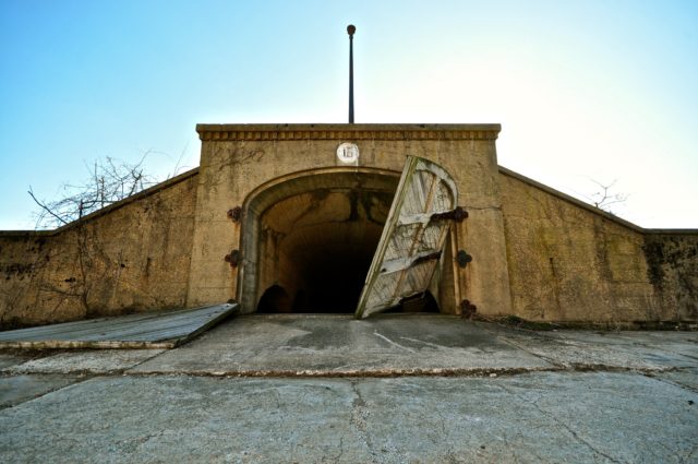
This derelict water treatment facility was also part of the City Beautiful Movement designed to modernize Washington and address the destitution caused by the Industrial Revolution. At the turn of the 19th and 20th centuries, Washington was overwhelmed with infectious diseases, including typhoid fever.
The particular disease was so virulent partly because of a sharp increase in the population and the deterioration of the air thanks to industrial pollution.
However, the most influential factor was the poor water supply to the city. Water from the Potomac River was channelled to the city via the Washington Aqueduct.
One newspaper described the water as being “seal-brown” in color and a “mixture of water and real estate.”
The authorities sought to solve this problem by building a new filtration site adjacent to the reservoir which had just been built next to Howard University.
The construction of the filtration unit was completed in 1905 and stood at the intersection of Michigan Avenue and North Capitol Street on 25 acres of land.
The operation of the facility was based on a water filtration system that used sand instead of chemicals. The finished complex covered 92 acres and included a reservoir, a filtration unit, and a pumping station. All of it was owned and controlled by the federal government.
The complex was named “McMillan” in honor of Senator McMillan of Michigan. He was the chairman of the McMillan Plan, a document which dealt with the development of a park system in Washington DC.
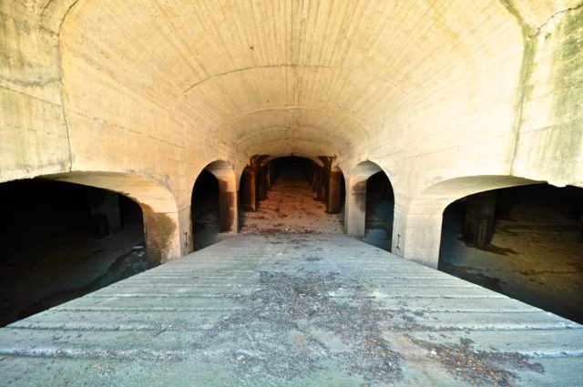
According to historical records, sand was brought from Laurel, Maryland, to be utilized at the water plant. Before it could be used, the sand needed to undergo a preparation process that would remove unwanted elements such as clay particles.
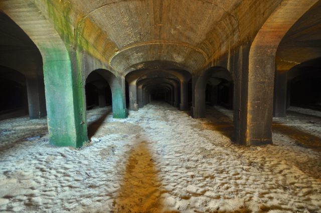
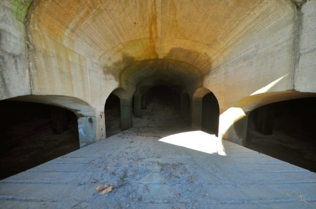
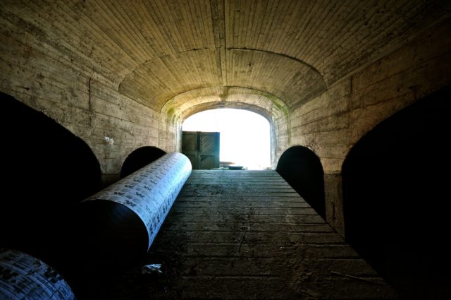
According to the design, water seeped through the sand across 25 underground chambers before flowing into residential buildings. The sand filtration system removed both bacteria and sediment from the water.
Because the sand filtration site was seen as a “public works,” a decision was made to make the area appealing to visitors by building a park next to it which would be open to the public. Frederick Law Olmstead Jr was the architect assigned to the task.
When he was finished, people could stroll through the park and there were even promenades that allowed them to look down at the sand filtration site. However, crucially, the public was not allowed into the site.
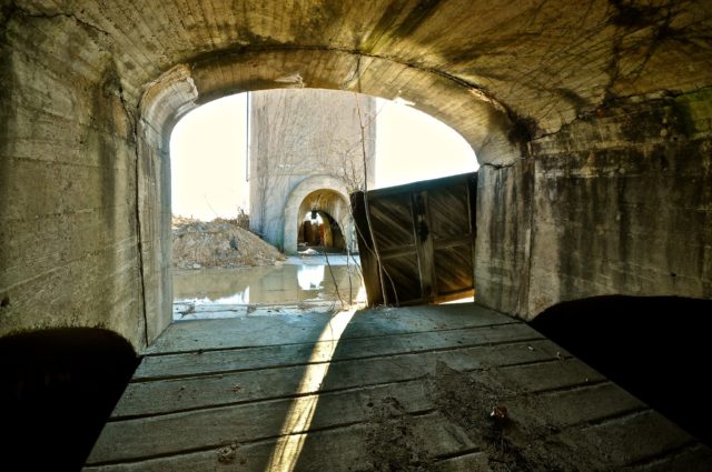
The complex incorporated 2,100 manholes which workmen used to shovel fresh sand into the filtration system and which also allowed light and air into the underground chambers to assist those working inside. Since such manholes were regularly left open, it was deemed hazardous to allow the public to stroll through the works.
At the outbreak of World War II, the park was fenced off and the filtration plant was guarded by the army to prevent enemy sabotage of the water supply.
The complex carried on purifying water for the residents of the city before the style of filtration it used became outdated. As a result, the Army Corps of Engineers decommissioned the 25-acre filtration unit in 1980.
In 1987, the District of Columbia government bought the McMillan sand filtration from the federal government for $9.3 million. From that point on, the land was abandoned and closed to the public while a decision was made on how best to use the land.
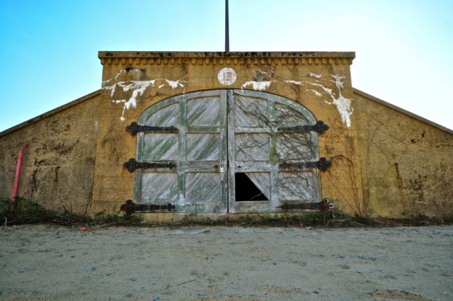
Following the decision of the Historic Preservation Review Board in 1991, the McMillan Park became a Historic Landmark. The site has twice been included in the list of the most vulnerable real estate properties – in 2000 and 2005.
Eventually, the Government of the District of Columbia began to consider turning the abandoned land into a commercial and residential development. In 2006, the county created Vision McMillan Partners, a cohort of several construction companies, to plan future uses for the site.
In 2007, after a bidding process, the city selected the Vision McMillan Partners development team to design a master plan for the construction of housing, shops, and office space.
However, a DC auditor determined that the bidding process had been flawed and should be repeated. Although this decision was circumnavigated by emergency legislation, this was just the first set back in what would become a turbulent time for the site.
In 2010, the main real estate developer involved in this project completed its master plan for the site, which incorporated 6.5 acres of parkland. Neighbors and interested citizens were invited to four open meetings where they had the opportunity to look at and comment on the developing design.
Eventually, a plan was settled on that would include 146 townhouses, approximately 500 apartments, a park, a medical center, shops, and a community center.
In May 2016, the plan to transform the site into retail, office, and residential premises was approved by the Council for the Preservation of Historical Monuments. In December of the same year, the process of laying the foundation began.
However, only a day after the groundbreaking ceremony, the Court of Appeal vacated orders from the DC Zoning Commission and the Mayor’s Agent for Historic Preservation. This was a major blow to the project.
The court ruled that the Commission hadn’t considered the impact of construction on the surrounding area and the Agent hadn’t explained what “special merit” there was in demolishing parts of this historic property.
The response of the developers was that they would address this issue, and they progressed with the works, getting a green light at every subsequent stage, including when they made it back to the Court of Appeal again. This did not discourage local groups from lobbying against the development.
In October 2019, a construction company from Rhode Island began preparatory demolition works at the site.
In December 2019, a group of activists tried to issue a restraining order to prevent further work, claiming that the developers were starting demolition without the proper permits in place. The city maintained that the work they were carrying out was not demolition but only of a preliminary nature.
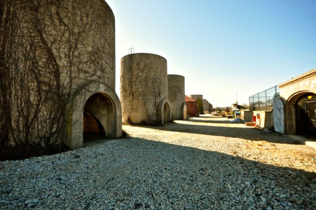
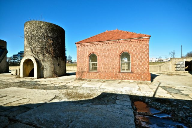
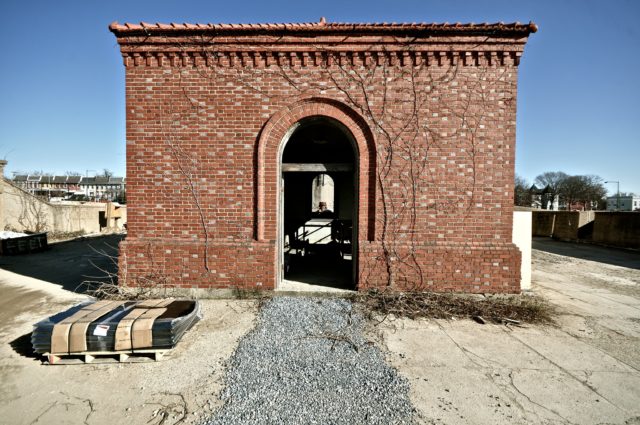
At the moment, the site is closed to the public. Access is prohibited as the site is considered private property. Furthermore, the area is dangerous to visit due to large pits and the poor condition of the facilities.
Local activists continue to fight to preserve this historic place despite the fact that authorities say that their current project will bring more jobs and $1.2 billion in tax revenues over 30 years.
The owner of these photographs is Jack Parrott whose Flickr account has a lot of beautiful photos which you should definitely check out via this link. You can also find more pictures of this location in one of his Flickr albums here.
A huge thank you to Jack Parrott for giving us permission to share his photographs on our website.
Buddhist Pagodas Lost in the Village of Indein
