From the earliest days of civilization, even into modern times, cities have built walls to survive in an ever-changing world of invasion and conquest. But as history went on, the concept of walls and fortification evolved.
The great empires no longer constructed walls just for protection, they also served as physical objects of power.
For a ruling emperor, building a wall was a show of strength and provided a sense of security, especially in remote parts of the empire with hostile neighbors at the borders.
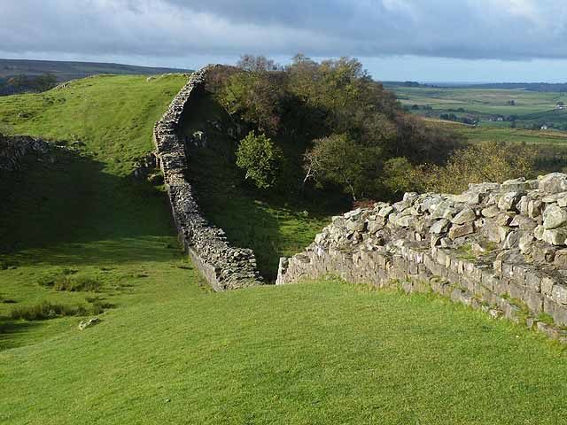
However, it’s fascinating how in ancient times the forts and walls were actually built, considering the technology that was available. Some of the most impressive structures of civilization were built during ancient times and their legacy has endured to this day.
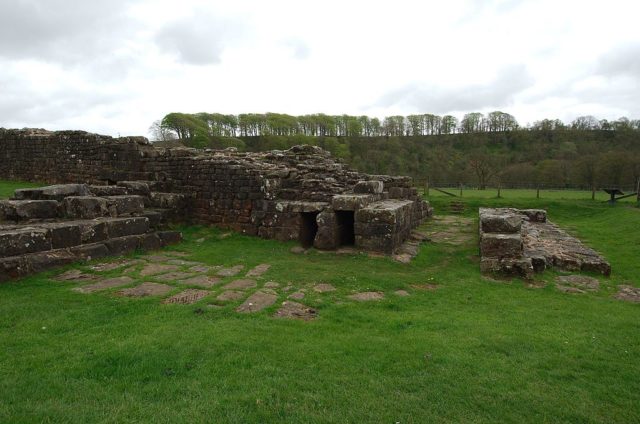
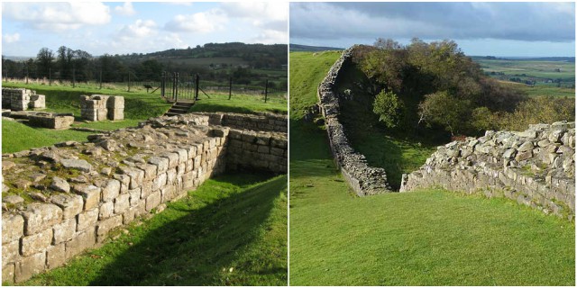
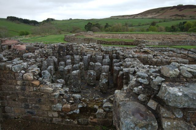
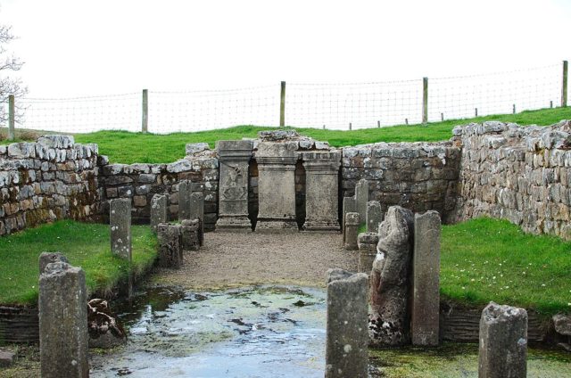
One of those magnificent constructions is Hadrian’s Wall. Today, it is regarded as one of Britain’s major ancient tourist attractions. A UNESCO World Heritage Site, Hadrian’s Wall was the most famous of all frontiers of the Roman empire. The wall served as the northwest frontier in the Roman province of Britannia for nearly 300 years. It ran for 73 miles, coast to coast, from the River Tyne’s banks in the east to the Solway Firth in the west.
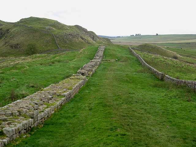
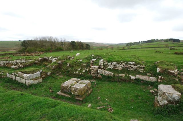
Construction of Hadrian’s wall probably began in AD 122, when Emperor Hadrian came to Britain. According to his biographer, “he was the first to build a wall 80 miles long from sea to sea to separate the barbarians from the Romans”, which makes it the largest Roman ruins. Construction of the wall took at least 6 years to complete.
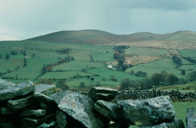
According to archeologists and historians, the design of the changed during its construction. At first, it consisted of a stone base, a stone wall about 15 feet high and 10 feet wide, enough for there to be a footpath along the top, probably a parapet wall. The 30-mile eastern section was in turf, 20 feet wide, with a gate at each mile (called milecastle), and a guard post.
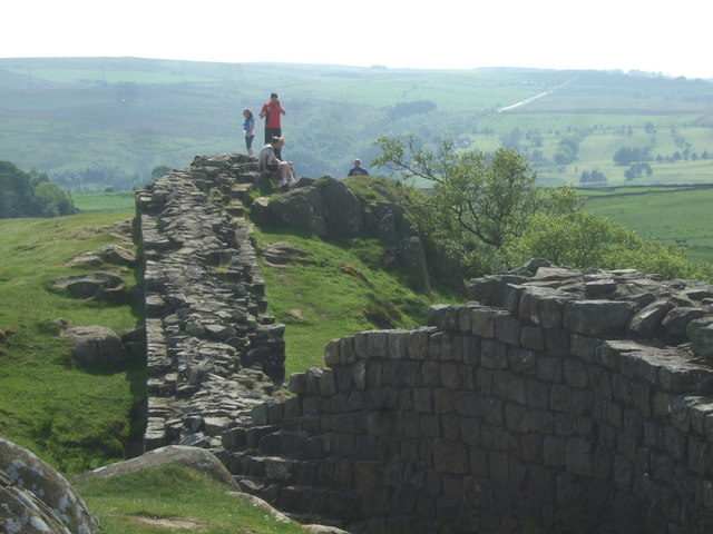
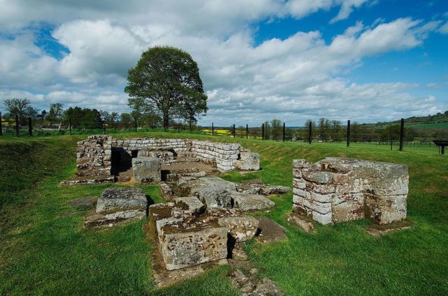
Apparently, the placement of the forts at a radius of 7⅓ miles on the wall line and down the Cumbrian coast and the construction of earthworks to the south was added later. The forts had room for a single unit with 3 main gates with 2 entrances each. The forts’ positions and the addition of the gates probably suggest that the need for increased mobility is what led to this change.
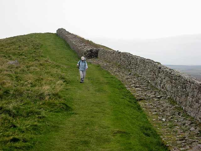
Many inscriptions show that Hadrian’s wall was built by the army of Britain. The infantrymen provided the main body of work, assisted by the auxiliary units. Presumably, the wall was guarded by either infantry or cavalrymen, organized into regiments and mostly recruited from the north-western provinces of the Roman empire.
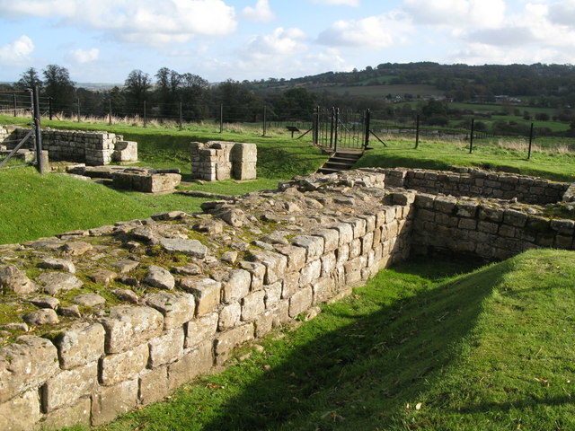
After Hadrian’s death in AD 138, the new emperor Antoninus Pius abandoned Hadrian’s Wall, only to serve as a support, and moved the frontier about 100 miles north. There he commissioned a new wall to be built, this time out of turf.
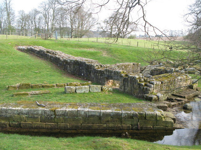
Today, much of the wall has disappeared, but a significant portion still remains. In the 18th century, material from the wall was used for local road building. Preservation of what was left of the wall afterward can be credited to John Clayton, a lawyer and town clerk from Newcastle in the 1830s. It is somewhat a minor tourist attraction and is unguarded.
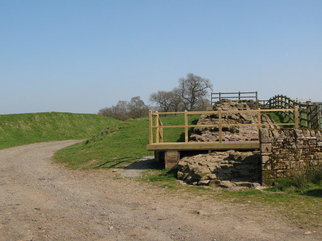
Still, there is a common misconception about Hadrian’s wall and that it forms the current boundary between England and Scotland, however, the truth is that the wall lies entirely in modern English territory.
